The Old Santa Fe Park Branch revisited in Tales of the Jointed Track
- June 3, 2018, 10:26 p.m.
- |
- Public
I was going to start this entry, only to find that Photobucket, was asking for an exorbitant fee to third party host. Well, they reduced their fees, and not too bad now. So I can update the walk, down the walking trail, which was once part of the Santa Fe Park Branch-line. I walked this trail last spring, while the wife as still retired.
Let me preface, the Santa Fe Park Branch. This was not a designated siding, but listed a a track between stations. When it was in it’s prime, it was not listed in the Joint-Line No. 6 timetable which was in effect Sunday May 16th, 1971. I hired out in December of 1973, so this was the current time table and is not listed. I found a Joint-Line No.2 timetable, effect Sunday February 6th, 1977, so Santa Fe Park was built between 1971 and 1973. I did not work up this branch till after I was promoted in 1974.
The branch ran probably a good 2 miles off the northbound mainline, which was Double track ABS Rule 251 territory. Train orders were the normal operation. The purpose of the branch was to serve the Goodyear tire plant, which was sold to Michelin Tyre Company. Gates Rubber Company, at one time made tires, at South Denver, but said due to regulations, we will make V-Belts, auto/diesel engine cooling water hoses. Gates South Denver Plant has since closed, and been razed. They are making Condo’s/Apartments there now. The old Tire Plant is now an AT&T service center..lol
It was weed overgrown, service the customer as needed. Ya maybe get 6 cars a week. Empty Boxes for loading product. Carbon Black and rubber. You’d have to double in, due to weeds lubricating the track. And due to the grade, well retainers and heavy air to stay in control. Homes, small business, and schools now inhabit an area which was sparse at the time.
Lets take the walk. I will say west or east, some I cannot document due to road changes and development. Will give ya an idea.
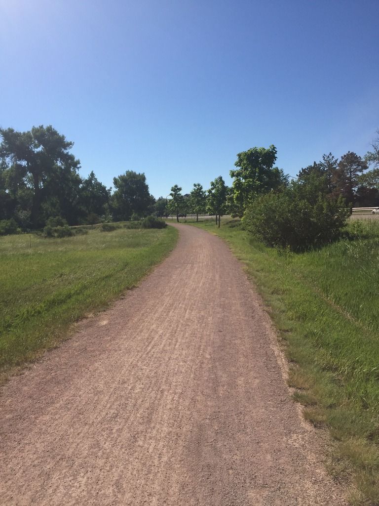
Looking southeast.. you can see the Highline canal trail intersection. The road to the right is Mineral Ave which didn’t exist at this time. The tire plant is in the last photos. about 1000 feet from here.
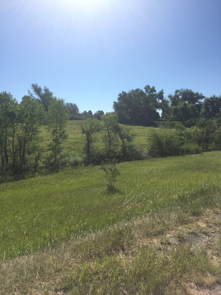
looking due East near Mineral and the Highline canal, we’ve reached the summit and about less than a quarter mile to the plant.
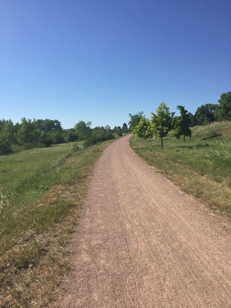
notice the grade and notice..trees…was open prairie grasses in my time.
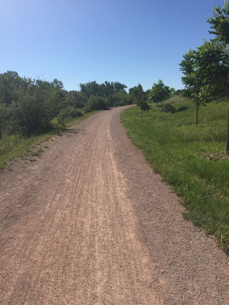
About 200 feet west ward looking east. You can see the grade.
close to Jackass Hill Road, looking east , the curve is where I took the previous picture
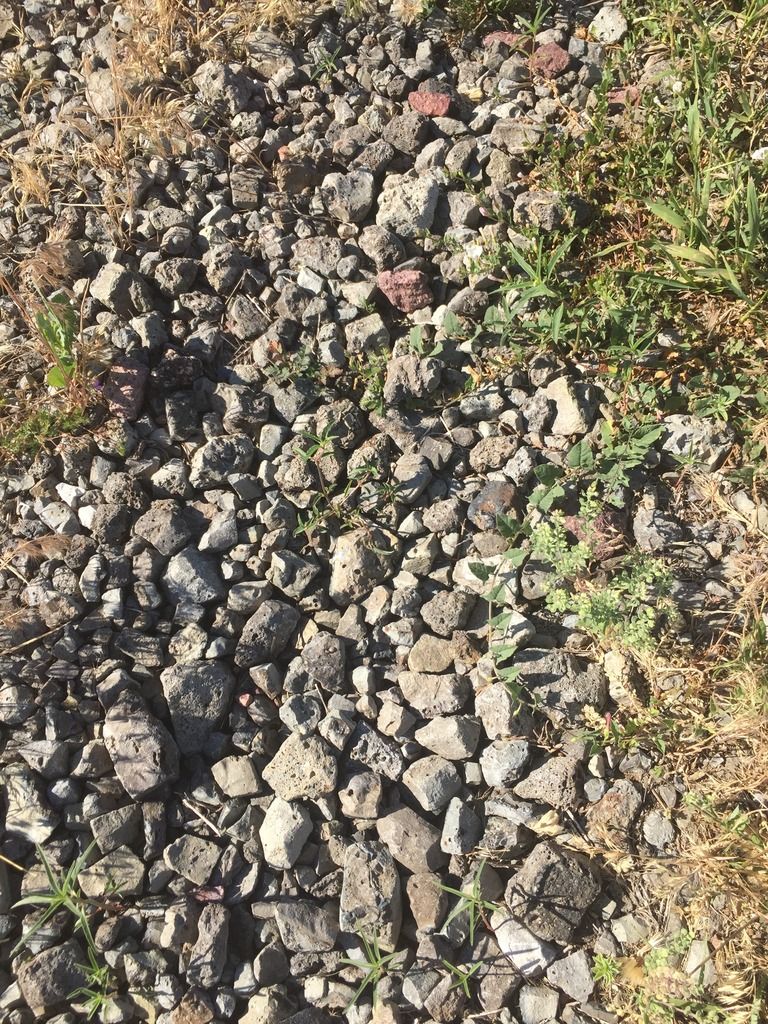
Old ballast from the CF&I steel mills at Pueblo,CO Minnequa to be exact. How many tons of this I hauled, set out and dumped in my career
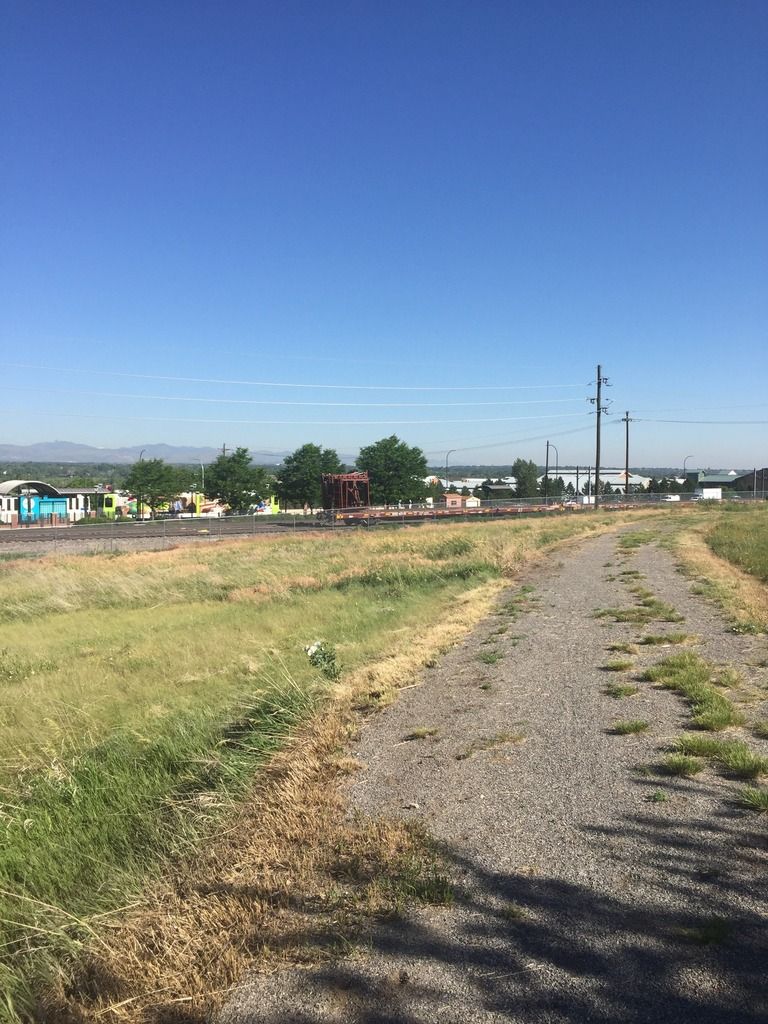
Looking Northwest, you are seeing the Mineral Lite rail station. The next photo shows basically where the switch was to access Santa Fe Park
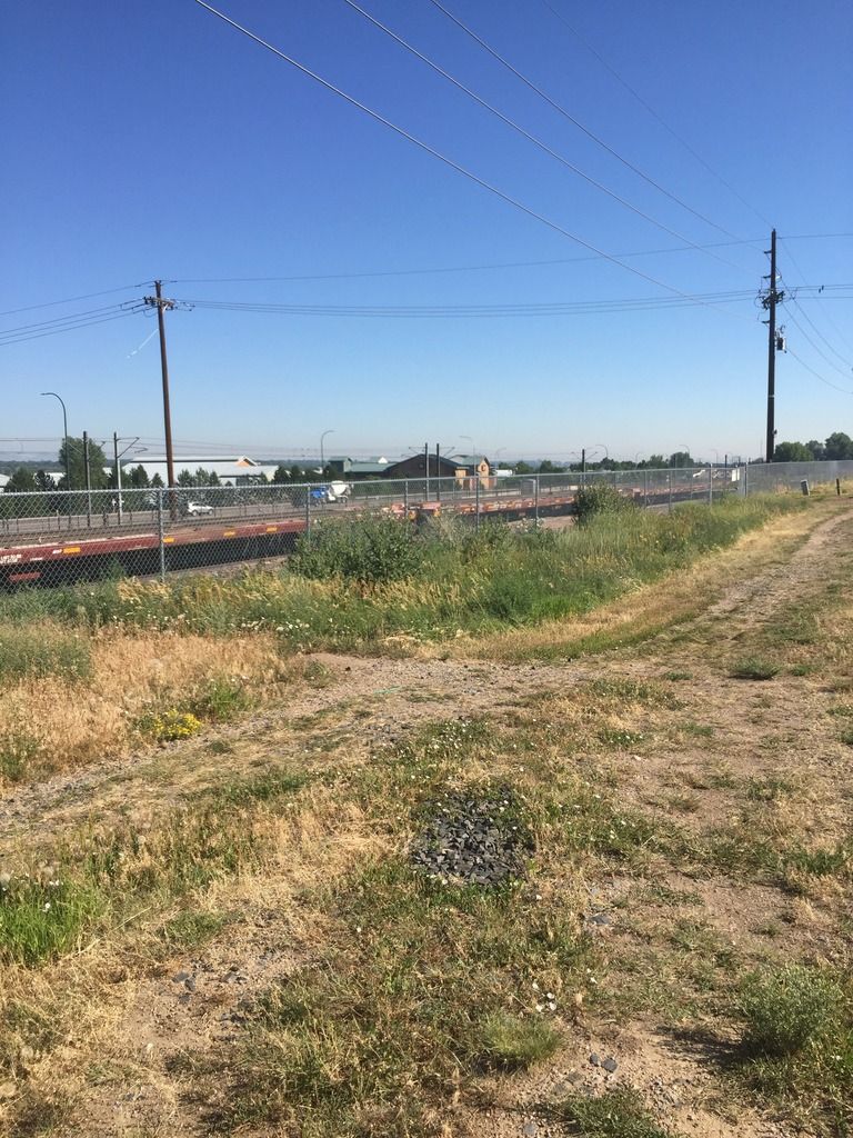
The track used to hook up at Santa Fe Park Siding. The Northbound mainline is in the foreground as well,if you see the beige building, and look to the MOW Flats stored, we basically joined the Santa Fe Park siding track there.
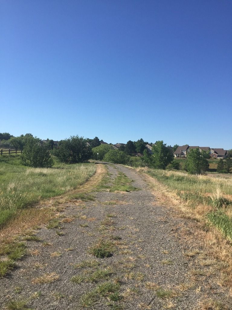
Another shot, near the switch access, looking southeast, the next photo show a closer look at the curve.
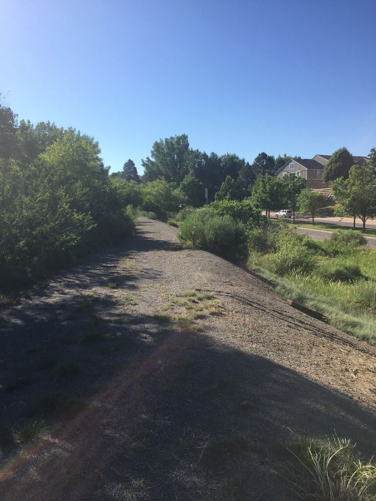
This is looking southeast, from the previous photos, you can see the rail grade line. Mineral Ave and a town-home complex in the foreground. Those were not there, when the branch was working. NOTICE the old tie to the right.
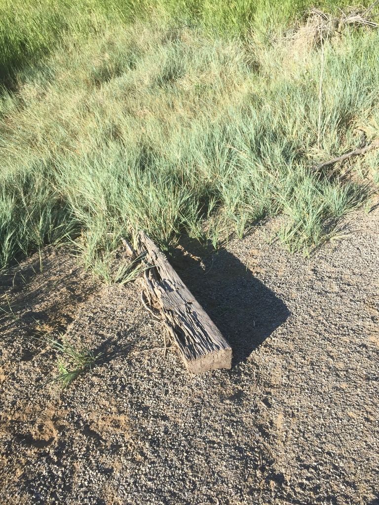
An old rotting tie. A ghost from the past.
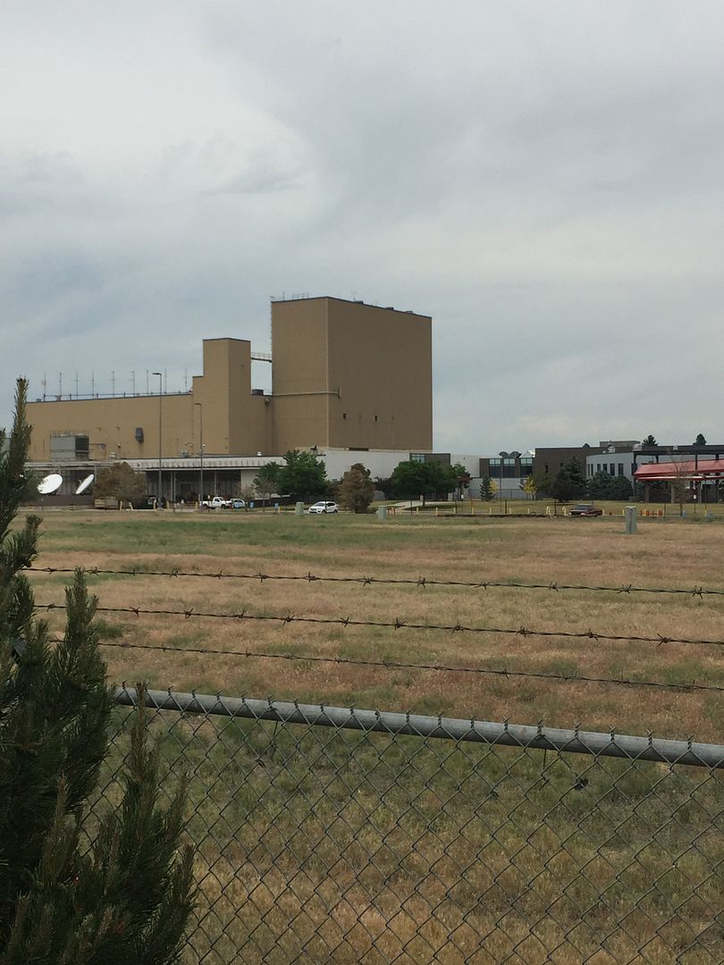
the old tire plant, now the AT&T Facility. This a backside shot. the branch to this point is developed and can not track it.
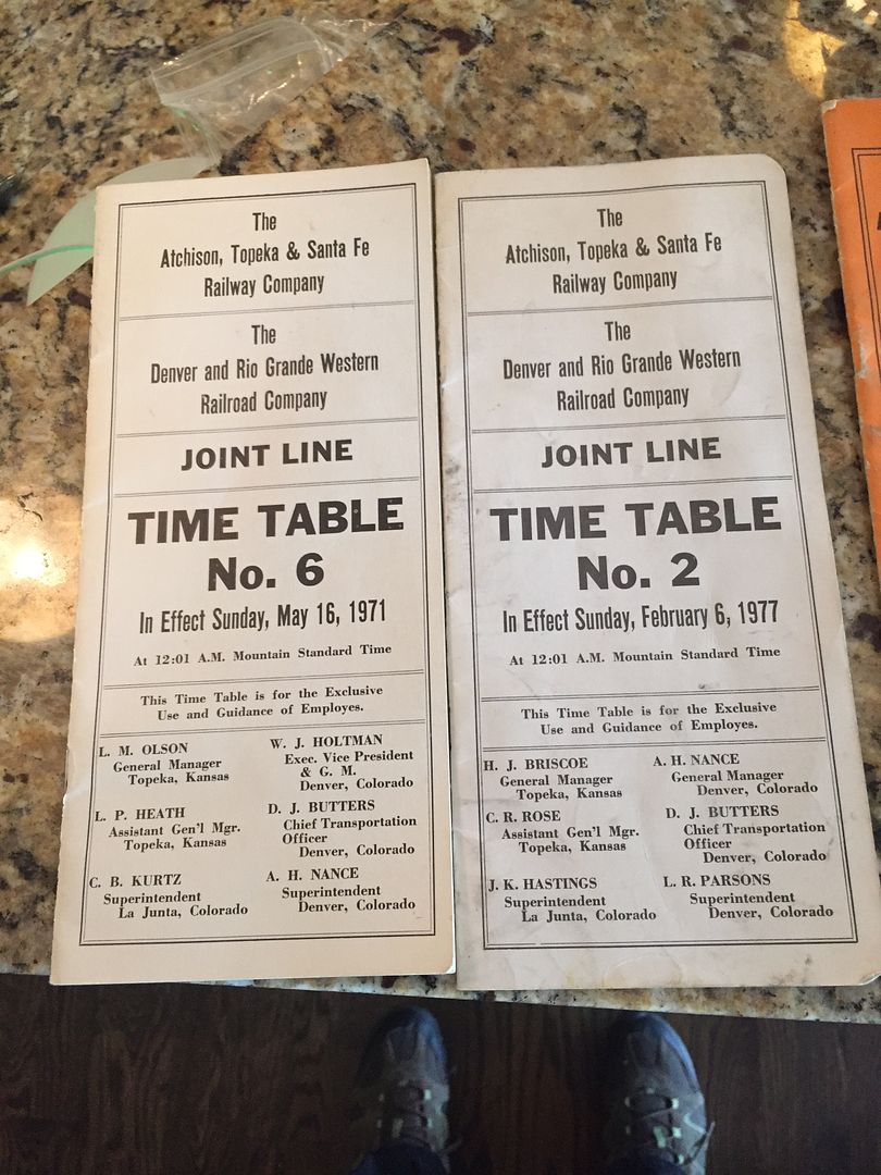
Joint-Line Timetable No. 6 and No. 2 referenced
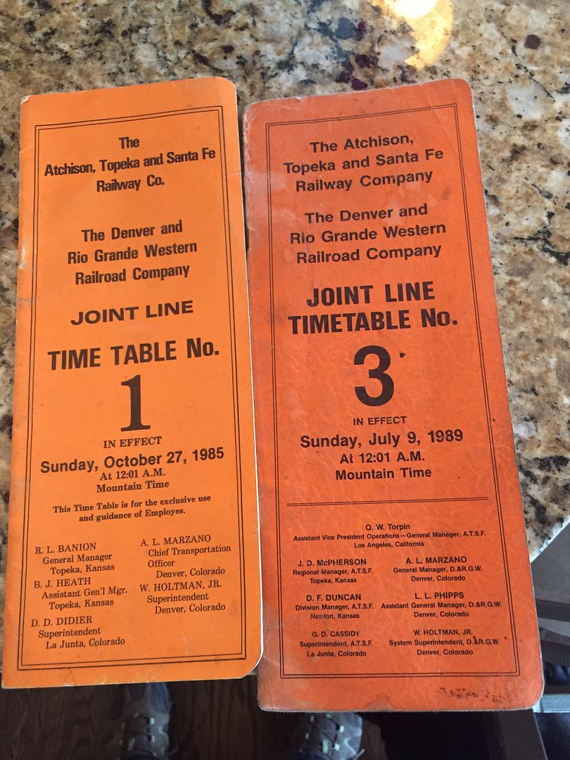
Joint-Line Timetable No. 1 and No. 3 referenced
Last updated June 03, 2018


Loading comments...