Loveland Pass, CO 11,990 feet in Misc. Thoughts opinions, the whole trash can.
- Aug. 4, 2014, 8:46 p.m.
- |
- Public
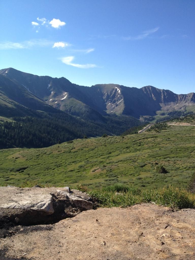
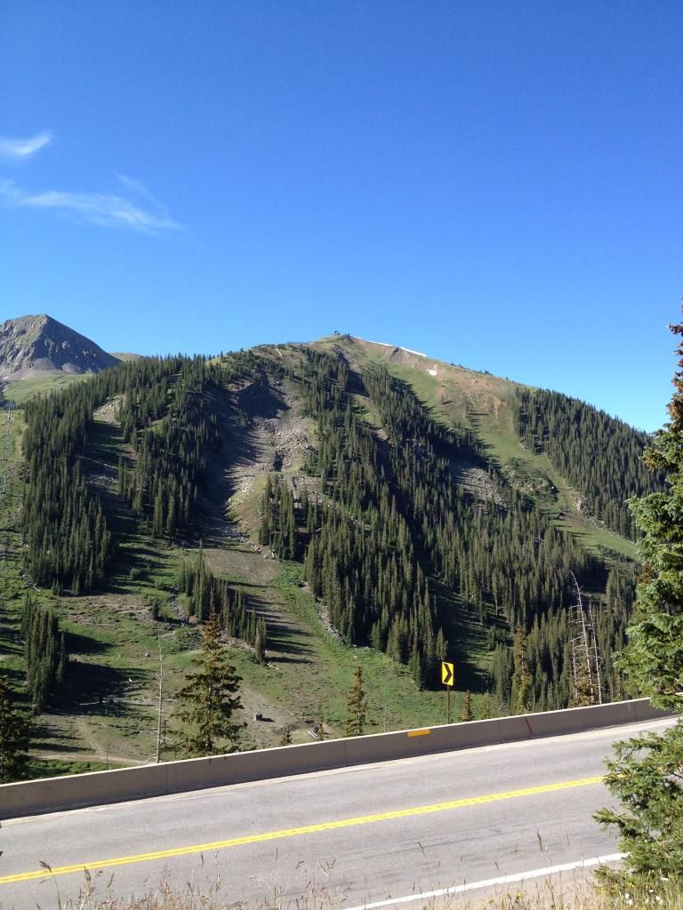
I’d thought I’d share a few cell phone pictures of The Continental Divide. This is coming back from the Beer n Bluegrass festival at Keystone, CO .
Ever thought of why it is called the Continental Divide? It is not exactly in the middle of the contiguous United States. Bird City, KS on US 36 is the geographical center of the US. The Divide is where and determines how the water flows and in what direction. All water on the east of the Divide flows toward the Missouri and the Mississippi Rivers or toward the Gulf and the Atlantic. All water west of the divide flows toward the Green River and the Colorado River, or west ward to the
Pacific.
 )
)
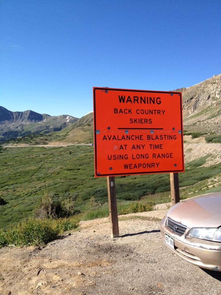
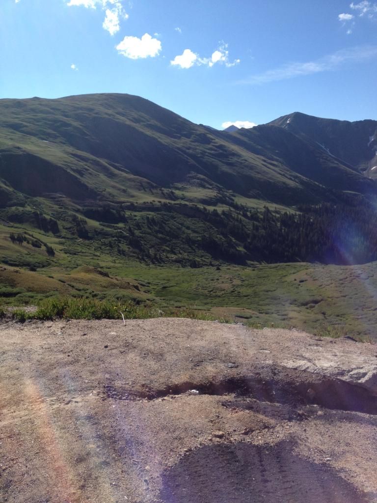
This is on the “West” side of the summit. This is for the skiers and snowboarders
that ski both sides of the pass. This is you’re on your own type of extreme skiing.
Powder can be 10 ft deep in places. Avalanche control here is important, because Haz-mat and High-Wide semis are required to traverse this. At the east base, of the pass is the Seven Sisters slide area. They blast that regularly, and has been known to be 100 feet wide and 20 feet deep, when they let go.
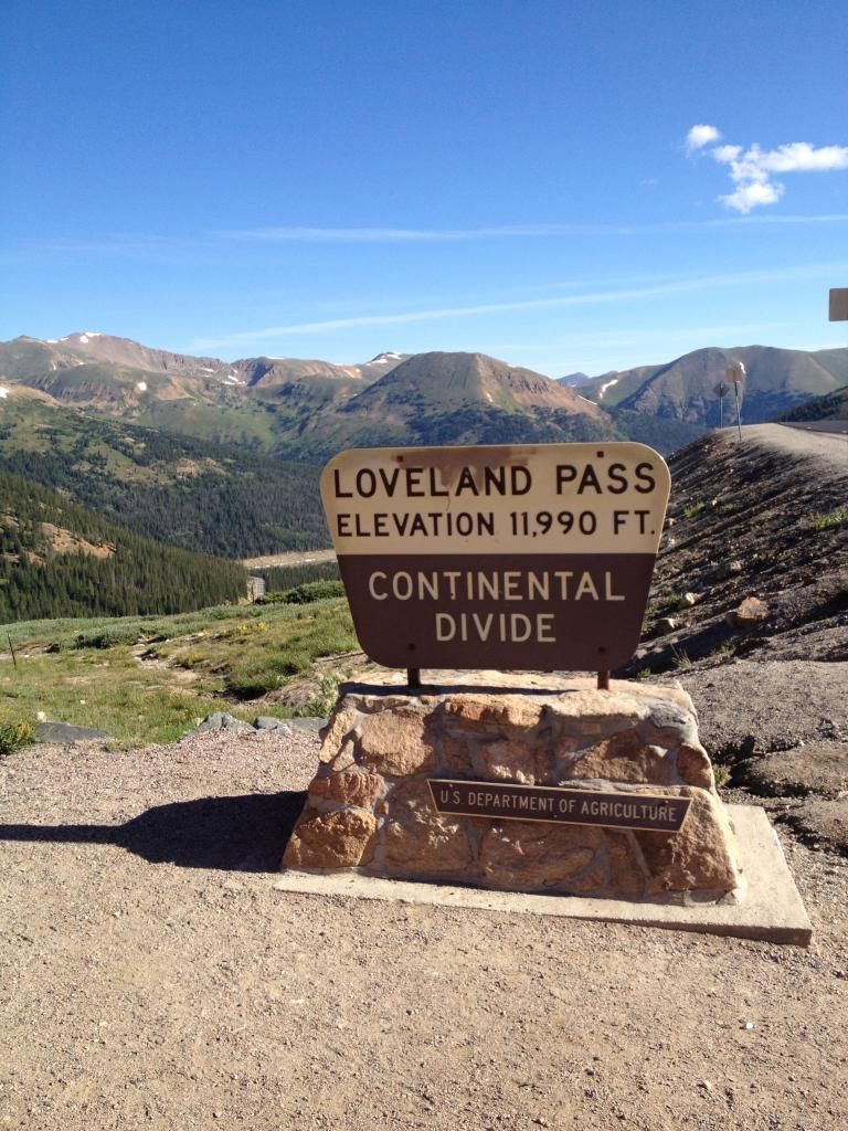
As it says 11990 ft. This Sunday morning was sunny calm and a balmy 52 degrees.
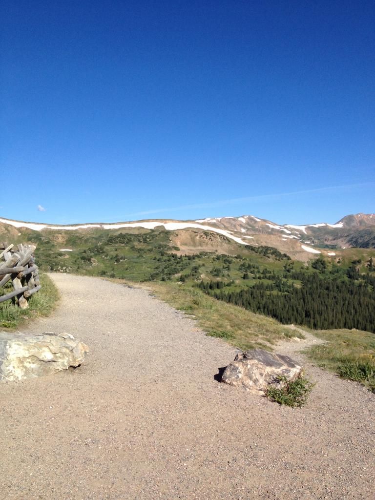
The eastern slope of the Continental Divide. Yes that is snow, still on Agust 3rd.
Starting as early as mid September, they will wear their white cloak.
This is an access that the skiers and boarders use to head down the east side of the pass. Like my comments on the west side, this too is challenging. Also more trees as you drop below timberline.
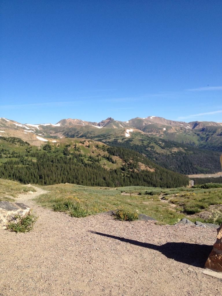
These two pictures shows the west side of the pass. This is the access to ski down to Arapahoe Basin. It is a little wider, but more prevalent to Avalanches. It is a low valley, so to speak, but some boulder fields and dead trees taken out by slides.
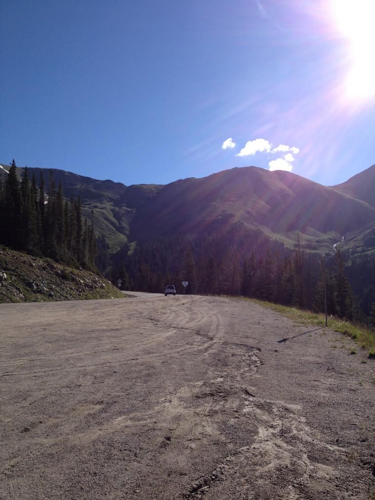
Looking slightly Northeast heading toward the summit. At the right, you can see a small stream, draining the snow melt. This will find its way to the Snake River, and into Dillon reservoir.
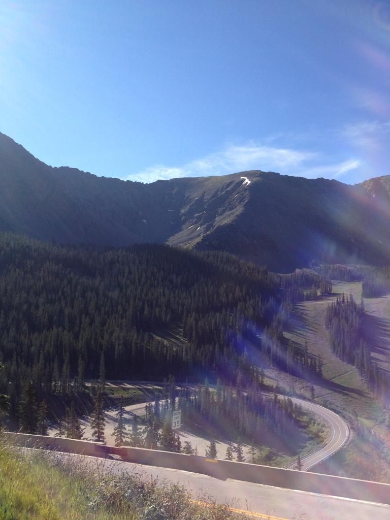
The Divide and some of the runs at Arapahoe Basin. This ski area closed this year, for the season, on June 20th, 2014. It has closed as late as August in some years. One year it could have stayed open till the next ski season, but was closed for lift inspections. They ski on Norway Mountain, which is on the West Wall side. The Main lift, not shown takes you to the Norway base lift.
Some of the Green Blue and Blue Black runs at Arapahoe Basin. This is still to this day, minus the modern high speed chairs, an “old school” type of place. No frills but a great place to ski. If I could, this is still my favorite place.
This is the East Wall. You can see the end of the lift up top. Where the “split” in the trees just below is where the chair lift goes. The West Wall is on the other side, just as steep but not as rocky. When I skied this there was a Poma lift, that ran just to the left of that Shanty for the lift at the top and took the ridge up from the left. The Poma was wiped out in the 70’s by..yep an Avalanche. As a younger an dumb, and fearless kid.. I have skied both walls. This side is white knuckle, and better get a good sight line and, don’t fall. No wonder my knees are garbage.
I learned to ski here, when I was 10 years old.
Last updated May 25, 2015



MageB ⋅ August 05, 2014
Wow. Fearless indeed.